SIRC 2026: ICEYE sees wider utilisation of satellite data as take-up expands across Asia Pacific
November 4 2026 by Marcus Alcock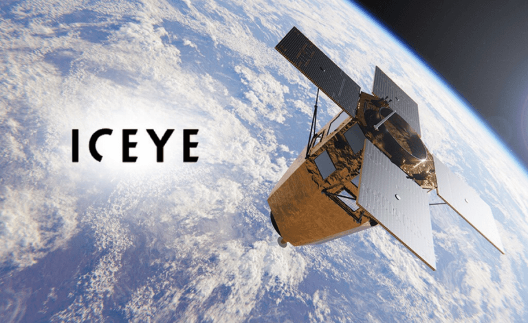
Satellite data specialist ICEYE envisages further possibilities for its catastrophe intelligence as it expands its footprint across Asia Pacific, suggesting that it can now be used to assist insurers with underwriting and pricing.
The company, which has built its insurance proposition around rapid observation of natural catastrophes, increasingly sees the historical data generated from hundreds of past events as a tool for understanding risk before a loss occurs, rather than simply responding post-event.
Australia is currently ICEYE’s largest market in Asia Pacific in terms of the breadth of insurance adoption, with Japan another major market after it began its insurance penetration of the market in tandem with Tokio Marine in 2020. More recently, it has announced that Sompo Japan is now using its flood insights data.
The company is currently broadening its reach across Asia, adding flood coverage in India, Thailand, Vietnam, the Philippines, Taiwan and South Korea.
India in particular represents an important growth market after ICEYE opened an office and is investing in its local operations as it seeks to expand insurance and public-sector use of its catastrophe intelligence.

“The biggest growth areas in terms of use of the technology will be flooding in the Asian countries that we’ve added, and tropical cyclones, assuming that there continues to be large events.”
Stephen Lathrope, ICEYE
For the time being, flood and tropical cyclone-related solutions are likely to provide the biggest opportunities for further adoption across Asia Pacific, given the region’s exposure to both perils, according to Stephen Lathrope, senior vice president for solutions.
“The biggest growth areas in terms of use of the technology will be flooding in the Asian countries that we’ve added, and tropical cyclones, assuming that there continues to be large events,” he said.
ICEYE uses its synthetic aperture radar satellites to observe catastrophe events regardless of cloud cover or darkness, allowing it to map the extent and depth of flooding and assess damage to buildings following major events.
The technology has traditionally been used to help insurers understand losses quickly, deploy adjusters and other resources, and accelerate claims payments, however, ICEYE increasingly sees the archive generated from previous events as valuable in its own right.
After around five years of flood observation, the company has assembled data from around 600 floods across more than 35 countries, and rather than modelling where water theoretically might go, the archive provides observations of where it actually went during past events, including flood extent and depth.
Risk selection
Lathrope said Australian insurer QBE has used the data to improve its understanding of issues, including differences in restoration costs following flooding.
He suggested, the development reflects a broader shift in the use of Earth observation data from principally managing catastrophe response towards informing risk selection and pricing.
In August, ICEYE announced a partnership with Louisiana-based The Water Institute to bring its FloodID predictive intelligence platform and core development team into ICEYE.
The aim is eventually to combine forecasts of where water is likely to go with ICEYE’s satellite observations of where it actually goes during an event.
“We’re not trying to become a cat modelling company,” Lathrope said. “What we are trying to do is be the absolute best at supporting clients’ preparation and response to nat cat events.”
Parametric insurance represents another significant opportunity for satellite observation in Asia, he added, particularly in markets where conventional insurance penetration remains low.
ICEYE already supplies data for parametric arrangements designed to address protection gaps in Africa, and Lathrope said he believes similar structures could be deployed across Asia.
In June, Liberty Mutual Reinsurance and ICEYE launched a building-level parametric wildfire product for Australia and the US. The system uses satellite imagery, property footprint data and machine learning to determine whether individual buildings have been destroyed, potentially allowing pay-outs to be triggered within days.
“I think it’s got huge potential,” Lathrope said. “There is absolutely no reason why this couldn’t be applied in Asia.”
-
BlackRock | Rethink the rules: how TAA and ETFs are reshaping portfolio construction
BlackRock's Daniel Caderas and MSCI's Raman Aylur Subramanian explain why tactical asset allocation (TAA) and exchange-traded funds (ETF) have become essential as global markets fragment and static allocations lose their reliability.
-
BlackRock | Infrastructure comes of age for insurers
Are insurers capturing full value from the asset class? BlackRock shares its perspective.
-
Beazley | Navigating geopolitical risks at sea
Maritime shipping faces growing geopolitical threats — missiles, drones, GPS interference, and cyber sabotage — requiring better intelligence, crew welfare, and resilience measures.
-
Zurich | Why resilience will define the winners of Asia’s clean energy transition
Planning for future conditions from the outset can improve operational reliability, reduce potential disruption and protect long-term asset value.